159.08+/- Acres, Holt County, NE
Video
Photos
Location
Map


Property Details
Acreage:
159.0800
Status:
Sold
Last Sold:
$1,247,000.00
Address:
50835 869th Rd
Page, NE 68766
County:
Coordinates:
42.421904 / -98.332913
Price Per Acre:
$7,838.82
Property Type:
Farm & Ranch Land Specialists in Nebraska, Acreages with Home
Kyle Connot: Sales Associate NE & SD
2.png)
SOLD - 3/1/2024
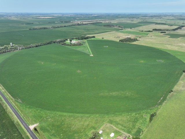
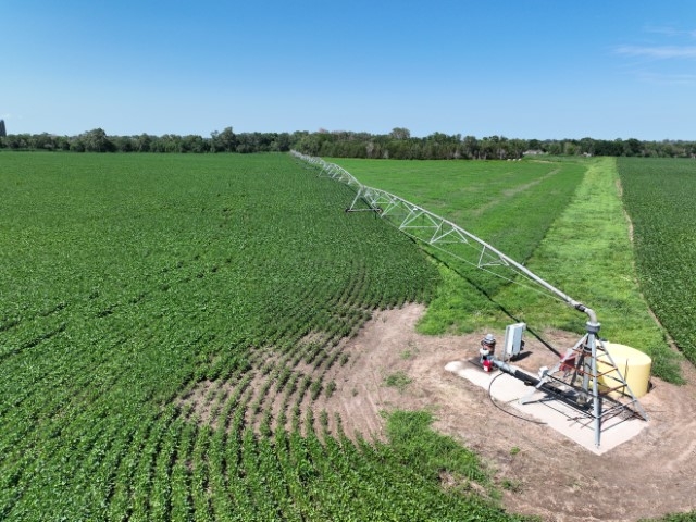
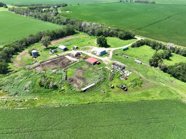
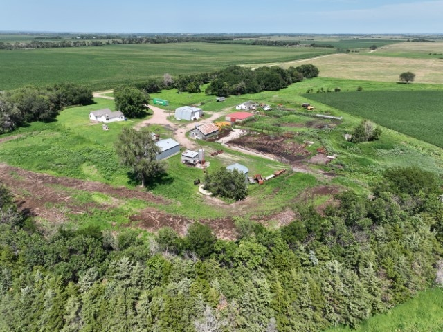
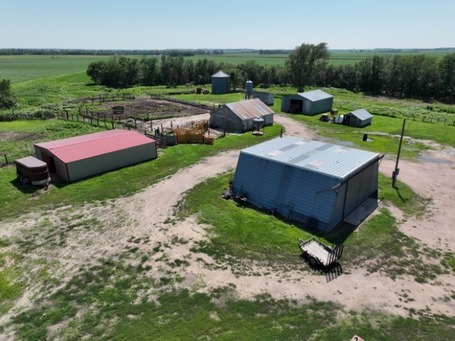
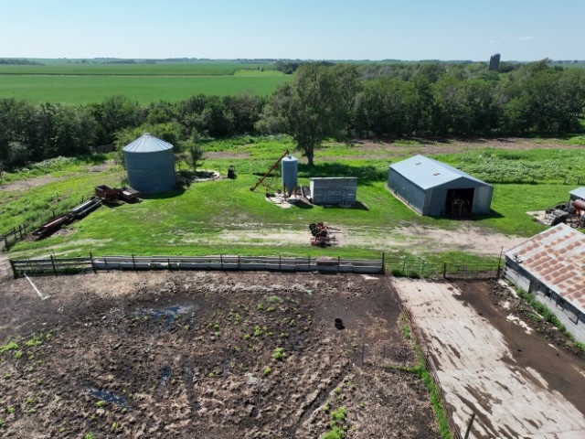
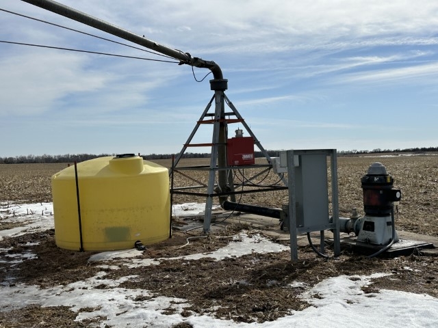
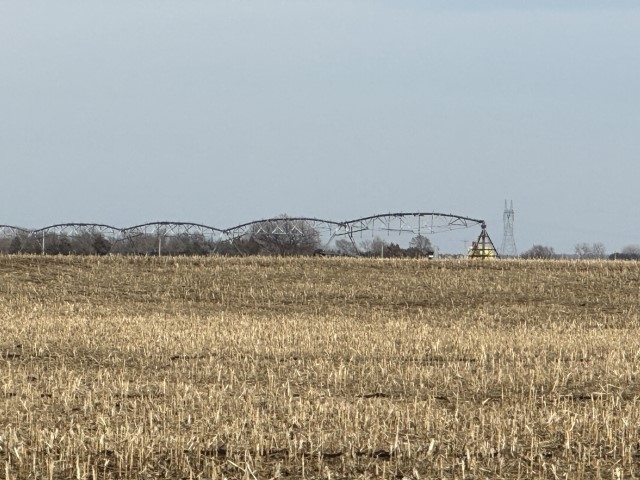
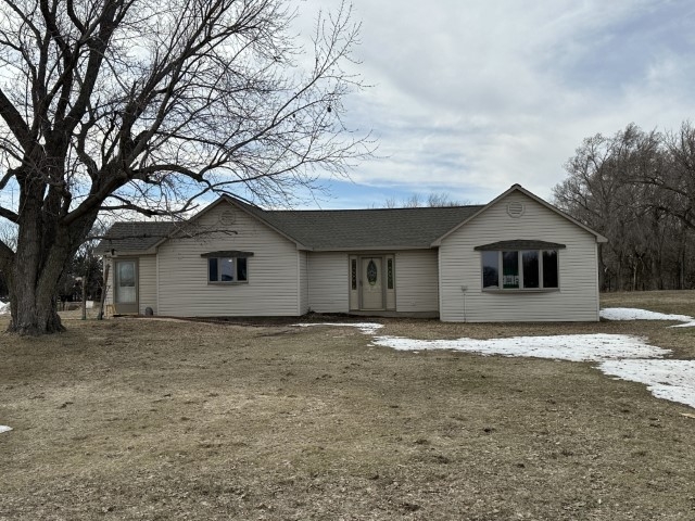
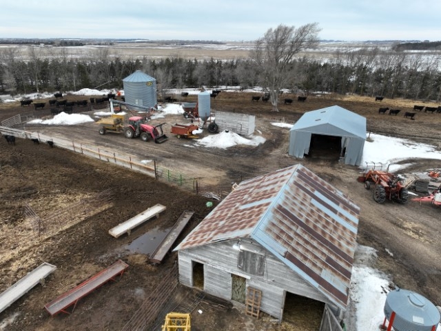
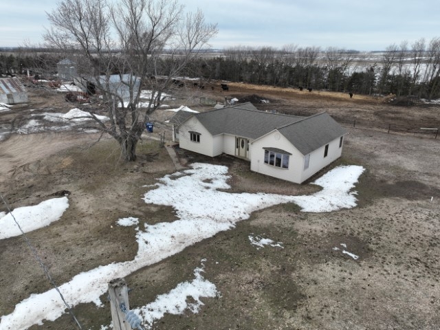
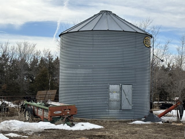
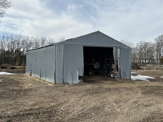
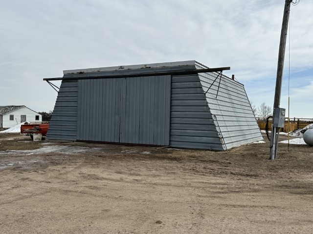
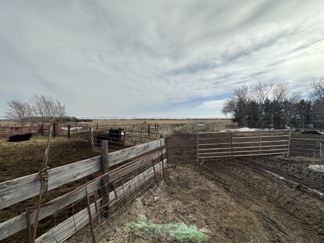
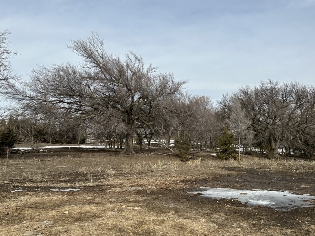
159.08 +/- Acres located 4 miles East of Page, NE. Productive Holt Co Irrigated ground with great access, this property includes a 2-bedroom, 1 bath 1,440 sq. ft. home,1996 Zimmatic 8 tower electric irrigation system, along with numerous out-buildings. 127.55+/- cropland acres with 112.27 +/- certified irrigated acres.
Legal: PT. NW 1/4 Section 11, Township 28 North, Range 9 West of the 6th P.M.
Property Address: 50835 869th Rd, Page, NE 68766
Property Location: From O'Neill - Approximately 15 miles East on Old 108 and 3 miles South on 508th Ave
From Orchard - Approximately 4.5 mile West on Hwy 20, 4.5 miles North on 508th Ave
Taxes: $5,991.82 (2022)
Deeded Acres: 159.08 +/-
FSA Farmland Acres: 127.55 +/- with 112.27 +/- certified irrigated acres
Crop Info: Corn – 41.3 Base - 165 PLC Yield; Soybeans – 30.4 Base - 57 PLC Yield
NCCPI: 60.67 Average
Improvements: 1,440 sq. ft. ranch style house which includes 2 bedrooms, 1 bath, 1996 Zimmatic 8 tower electric irrigation system with updated nozzle & drops in 2004, along with numerous out-buildings and bin
Well Info: #G-132773; 675 GPM; 335' well depth; 84' static level; 195' pump level; 8.62" column diameter; drilled in 2005.
#G-137321; 15 GPM; 338' well depth; 70' static level; 1.25” Column diameter drilled in 2005.
50835 869th Rd, Page - Aerial map.JPG
50835 869th Rd, Page - Land Flyer.pdf
50835 869th Rd, Page - LBPD.pdf
50835 869th Rd, Page - Location Map.pdf
Disclosure
All information contained herein is believed to be accurate; however, neither the Broker, its agents, nor the Seller make any representation, warranty, or guarantee as to its accuracy. Access to the property, availability of utilities, and any dimensions or measurements—including, without limitation, acreage, square footage, frontage, and boundary descriptions—have not been independently verified and are provided solely for marketing purposes. Buyers are advised to conduct their own due diligence to verify all such matters of concern, including measurements, property access, and utility connections.
Cooperating Broker Compensation
Terms of cooperating broker compensation, if any, are available upon request from the Listing Broker/Agent and must be determined prior to the commencement of cooperative efforts. Buyer’s agents/brokers must be disclosed and identified by the Buyer and/or their representative at the initial contact with the Listing Broker/Agent in order to qualify for compensation. Otherwise, compensation shall be at the sole discretion of the Seller, Broker, and Stracke Realty, LLC. Real estate commissions and cooperating broker compensation, when applicable, are fully negotiable and are not established or fixed by law, Stracke Realty, LLC (or any division, trade name, or DBA thereof), or its agents/brokers.